Highland Explorer Route
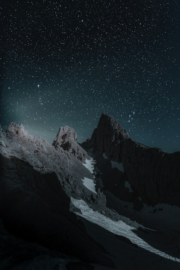
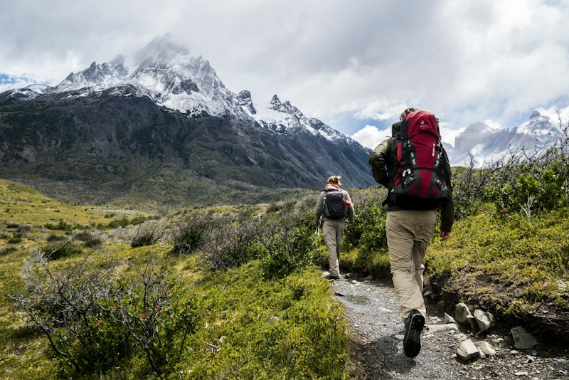
Seven days through Cairngorms terrain that most guidebooks ignore. Glacial valleys, boulder fields, and overnight stops in bothies that require exact navigation.
For fifteen years we have been drawing lines across landscapes most people drive past. Not because they are secret, but because they remain unseen. Our routes connect fragments: a coastal ruin with a hillside chapel, a forest clearing with a market town that hasn't changed since 1843.
Each path we design is tested across seasons. We walk them in February rain and August heat because a route that works in spring might fail in autumn mud.
Every route includes detailed mapping, emergency contact protocols, and optional guide accompaniment
Seven days through Cairngorms terrain that most guidebooks ignore. Glacial valleys, boulder fields, and overnight stops in bothies that require exact navigation.
Follow the southern edges where chalk meets sea. This route connects smugglers' coves with Saxon churches, threading between National Trust land and unmarked paths that locals use.
Walking routes through five cathedral cities, designed to avoid tourist circuits entirely. Early morning starts to see stonework in proper light, passages through medieval quarters that most visitors never find.
Beyond Windermere and the crowded fells. Our circuit uses bridleways and concessionary paths to reach tarns that appear on old maps but not in modern guides.
Island-hopping route across the Inner Hebrides. Ferry schedules dictate the rhythm. Expect single-track roads, prehistoric standing stones, and settlements of thirty people.
A route connecting Norman fortifications across the Welsh borders. Castles, yes, but also the paths between them that armies once used, now overgrown and magnificent.
Once you select a route above, complete your details to receive the full route pack within 48 hours
Speed collapses terrain into scenery. When you move at four kilometres per hour, geology becomes visible. You notice how sandstone weathers differently than limestone, how valleys curve around ancient faults.
We design routes for noticing, not achieving. Every path includes rest points chosen for specific sightlines: a bench facing a particular tree, a gate that frames a distant hill.
This approach emerged from failure. Our first routes were efficient but soulless. Then we started walking them with artists, geologists, people who see landscapes as text. The routes changed.
The Highland route took me through landscapes I thought I knew. Turns out I had only seen them from car windows. Walking reveals an entirely different country.
— Thomas R., Edinburgh
I expected scenic views. What I got was an education in reading terrain. The route notes explained why certain paths exist, why villages sit where they do. Geography became legible.
— Patricia L., Manchester
Their coastal route avoided every famous viewpoint and somehow showed me better ones. Places where the only sound is wind and gulls. Exactly what I needed.
— David K., Bristol
Landscapes change. Paths erode, bridges wash out, landowners reroute rights of way. We walk every route twice yearly to verify conditions and update notes.
View Available Routes